I still remember the first time I watched a drone lift off over a half-built subdivision outside Phoenix. The site supervisor had spent three days waiting on a traditional survey crew. The drone finished the same job with tighter accuracy in under forty minutes. That was the moment I stopped thinking of drone surveying as a nice-to-have and started treating it as the standard every serious project should be measured against.
If you’re reading this because you’re weighing whether to bring drone surveying into your next project whether that’s a construction site, a farm, a roof inspection, or a full topographic map you’re asking the right question at the right time. This isn’t a trend anymore. It’s how modern land, construction, and property data gets collected in the United States, and the gap between companies that use it and companies that don’t is only getting wider.
What Is Drone Surveying?
At its core, drone surveying is the use of unmanned aerial vehicles equipped with high-resolution cameras, LiDAR sensors, and GPS technology to capture precise spatial data about land, structures, and terrain. Instead of a crew walking a property with survey poles for days, a single aerial survey drone can fly a pre-programmed grid pattern and collect thousands of data points in a single flight.
What makes drone surveying different from simply taking aerial photos is the processing behind it. The images captured are stitched together using photogrammetry software to produce orthomosaic maps, 3D models, contour lines, and volumetric measurements all accurate to within centimeters when done correctly. That level of precision is why engineers, developers, and county assessors increasingly trust it over legacy methods.
Why Traditional Surveying Is Losing Ground
Traditional ground surveying isn’t going away completely, but it’s no longer the default. Ground crews are slower, more expensive per acre, and put people in physically demanding, sometimes hazardous conditions, especially on steep terrain, active construction zones, or near power lines.
Drones for surveying solve these problems directly. They cover large or difficult-to-access areas quickly, reduce labour costs, and remove much of the human error that comes from manual measurement. For property owners comparing quotes, the appeal is simple: better data, faster turnaround, lower risk.
This is also why the market for drones for surveying has expanded so quickly. What used to require a specialised government contract or a large engineering firm is now accessible to small developers, homeowners, insurance adjusters, and regional contractors alike.
Where Drone Surveying Makes the Biggest Difference
Construction and Land Development
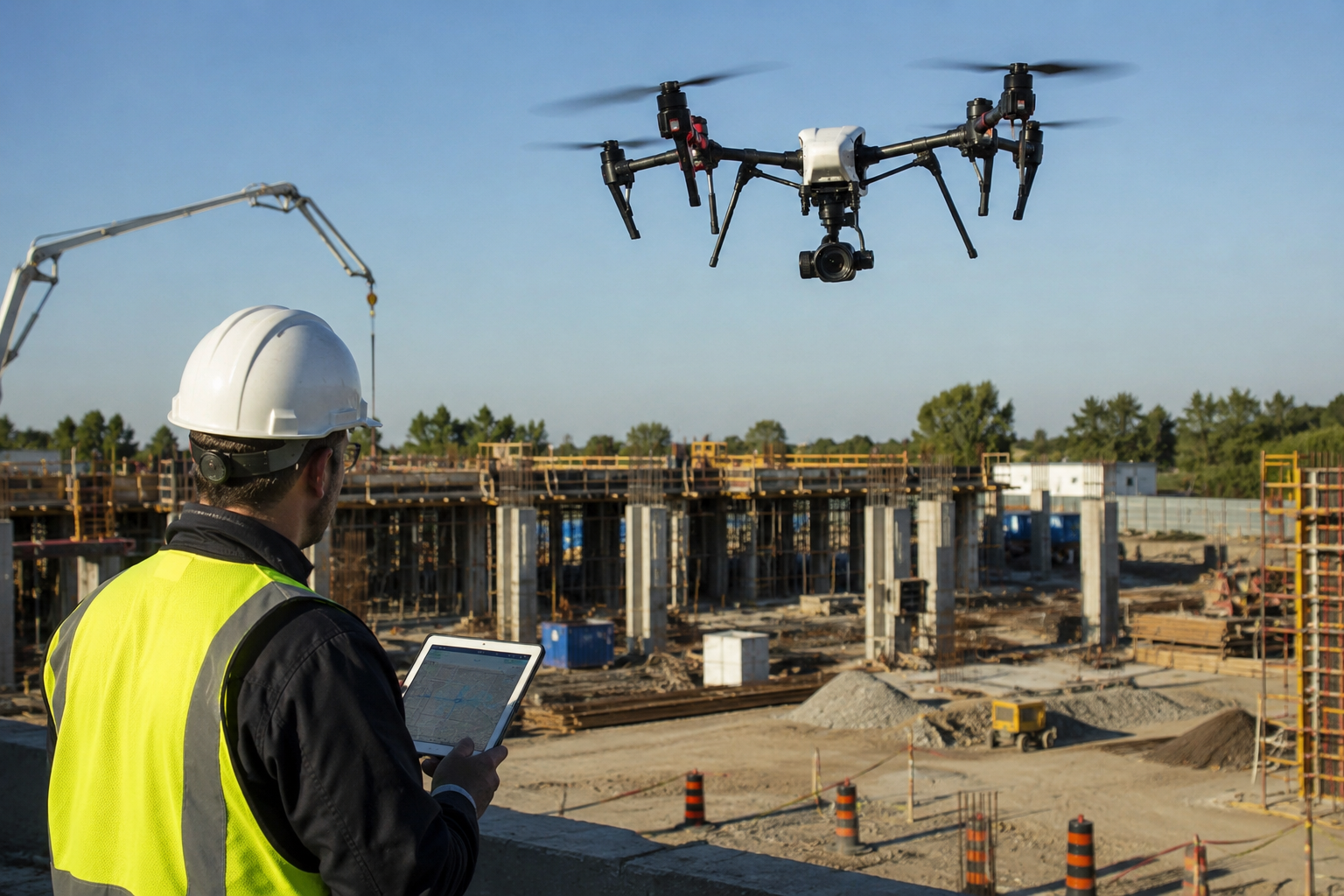
Before a single foundation is poured, developers need accurate topographic data. Drone surveying gives project managers real-time site progress tracking, cut-and-fill volume calculations, and stockpile measurements data that used to take a full survey team a week now available in a day or two.
Agriculture
Farmers use drone surveying to map field boundaries, monitor crop health through multispectral imaging, and calculate irrigation needs across hundreds of acres without ever stepping into the field.
Roofing and Property Inspection
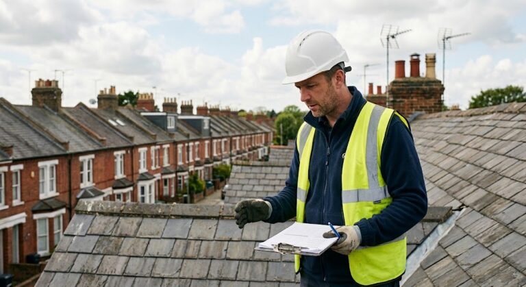
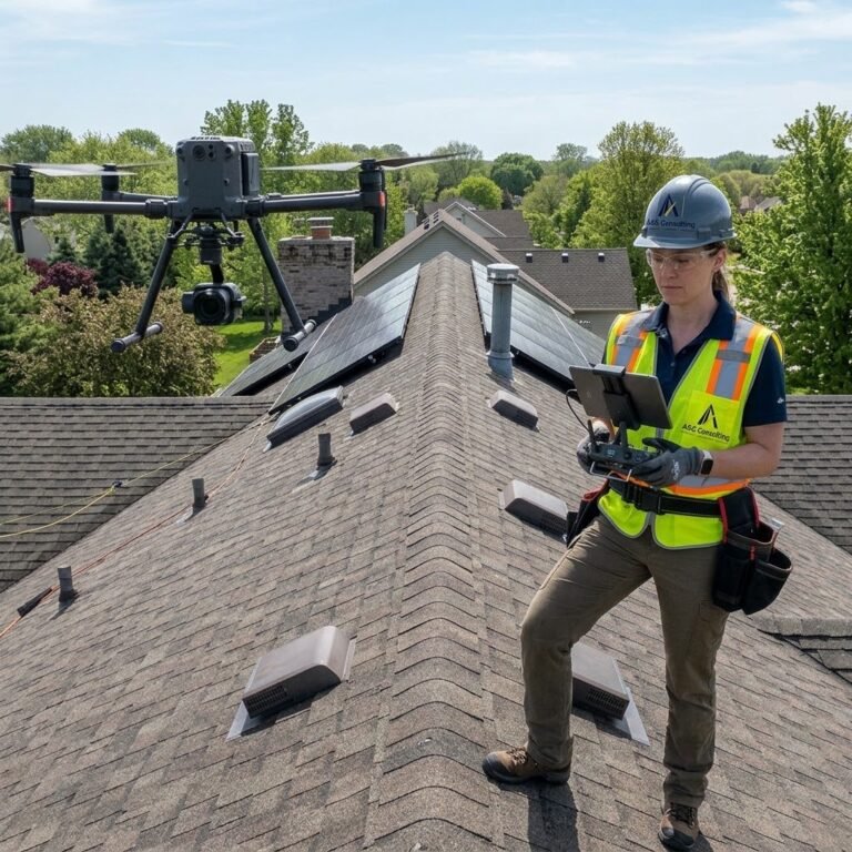
This is one of the fastest-growing uses. Drone roof inspections have become the go-to method for insurance claims, storm damage assessment, and pre-sale property evaluations. A drone roof survey lets an inspector document every shingle, flashing point, and gutter angle from multiple angles without a ladder ever touching the house. It’s safer for the inspector and produces a far more complete visual record than a walkthrough ever could. Homeowners searching for a faster, safer alternative to a manual roof inspection are increasingly requesting a drone roof inspection by name when they call contractors.
Real Estate and Insurance
High-resolution aerial imagery gives buyers, agents, and adjusters a complete picture of a property literally. It’s become a quiet but powerful trust signal in listings and claims alike.
How to Choose the Right Drone Survey Company
Not all drone survey companies are created equal, and this is where research really pays off. Here’s what actually separates a dependable drone surveying company from one that just owns a drone:
- FAA Part 107 certification. Any legitimate drone survey company operating commercially in the U.S. must have licensed remote pilots. Ask for proof before hiring.
- Photo-grammetry and GIS software expertise. Flying the drone is the easy part. The real value comes from how the data is processed afte-rward.
- Insurance and liability coverage. Reputable drone survey companies carry commercial liability insurance non-negotiable if the flight happens over a job site or populated property.
- A portfolio of completed projects. Ask to see sample deliverables: orthomosaic maps, point clouds, or inspection reports from past clients.
- Clear turnaround times. A trustworthy drone surveying company will tell you exactly when you’ll receive your data, not leave you guessing.
If you’re typing drone surveys near me into a search bar right now, treat that first list of results as a starting point, not a final decision. Call two or three companies, ask the questions above, and compare not just price but professionalism and clarity of communication.
What Drone Services Typically Include
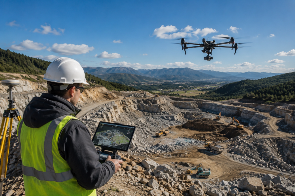
Most drone services bundle more than a single flight. A full-service provider typically offers site mapping, volumetric analysis, thermal or multispectral imaging, roof and facade inspections, and post-processed deliverables formatted for CAD or GIS software. Some inspection companies also offer ongoing monitoring packages for construction sites that need weekly or monthly progress updates, a service that’s especially valuable for lenders and project stakeholders who want documented proof of progress.
The Trust Factor: Why Accuracy Matters More Than Speed
It’s tempting to focus on how fast drone surveying is, but speed without accuracy is worthless, sometimes dangerous, if a construction budget or engineering plan is built on flawed data. The best drone inspection companies never sacrifice precision for turnaround time. They calibrate equipment regularly, use ground control points for survey-grade accuracy, and stand behind their data with clear documentation.
That’s really what total confidence means in practice, not just a fast flight, but a deliverable you can hand to an engineer, an insurance adjuster, or a county office without a second thought.
Looking Ahead
The technology behind registering their drone surveying keeps improving better sensors, faster processing, and AI-assisted data analysis are already reshaping what’s possible. But the fundamentals won’t change: it will remain one of the most reliable, cost-effective ways to understand land and structures from above, with a level of clarity ground-based methods simply can’t match.
If your next project involves land, a roof, or a job site that needs documented, defensible data, drone surveying isn’t just an option worth considering for most property owners and developers today, it’s quickly becoming the expected standard.
About the Author:
This article was written by a content specialist working alongside licensed FAA Part 107 drone pilots and land surveying professionals, drawing on direct industry interviews and field-verified project data to ensure accuracy and real-world relevance.
References:
- Federal Aviation Administration Part 107 Small Unmanned Aircraft Systems Rule, faa.gov
- American Society for Photo-grammetry and Remote Sensing (ASPRS), asprs.org
- National Society of Professional Surveyors, nsps.us.com
FAQs
Is drone surveying legal for commercial use in the U.S.?
Yes. Any company offering commercial drone surveying must operate under FAA Part 107 rules, which require a certified remote pilot and a properly registered aircraft.
Do drones used for surveying need to be registered?
Yes. Any drone over 0.55 lbs used for commercial surveying work must be registered with the FAA before it can legally fly for business purposes.
How accurate is drone surveying compared to traditional methods?
When paired with ground control points and proper photo-grammetry processing, drone surveying can achieve survey-grade accuracy within centimeters , often matching or exceeding traditional ground methods.
Is a drone survey legally equivalent to a licensed land survey?
Not automatically. For legal boundary determinations, the collected data still needs to be reviewed and certified by a licensed land surveyor before it holds legal standing.
How much does a drone roof inspection typically cost?
Costs vary by region and roof size, but drone roof inspections are generally priced lower than traditional manual inspections since they save labour time and remove the need for ladder access.