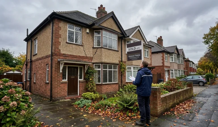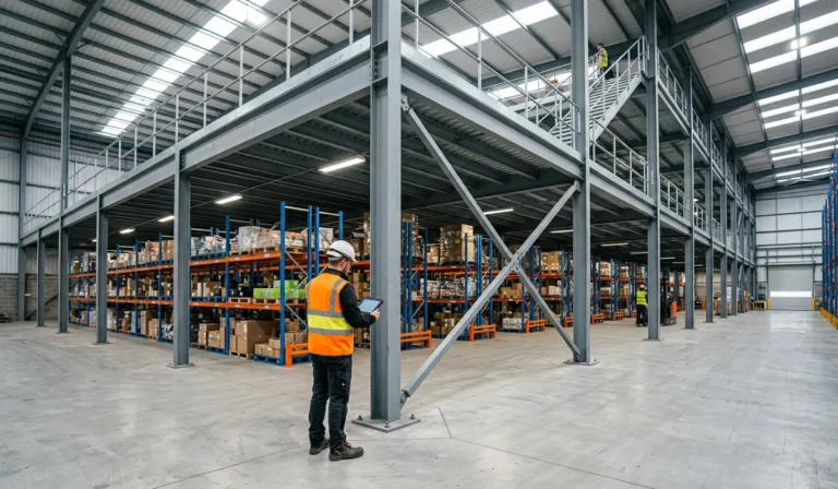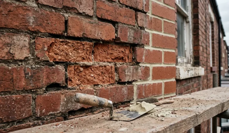
A scaffolder falls from a height. A surveyor spends four hours dangling from a harness to measure a chimney stack. A site manager waits three weeks for a topographical survey before groundworks can even begin. These are the everyday risks and delays that construction teams across the UK have simply accepted as part of the job until drone surveying started to change the maths.
Today, a growing number of UK contractors, roofers, structural engineers and estate managers are turning to drone surveys not because it’s trendy, but because it solves a genuine problem: how do you inspect difficult, dangerous or hard-to-reach parts of a building or site without putting people in harm’s way?
This article looks at what drone surveying entails, why it’s becoming central to safer construction practices, and what to check before you hire a drone survey company.
What Is Drone Surveying?
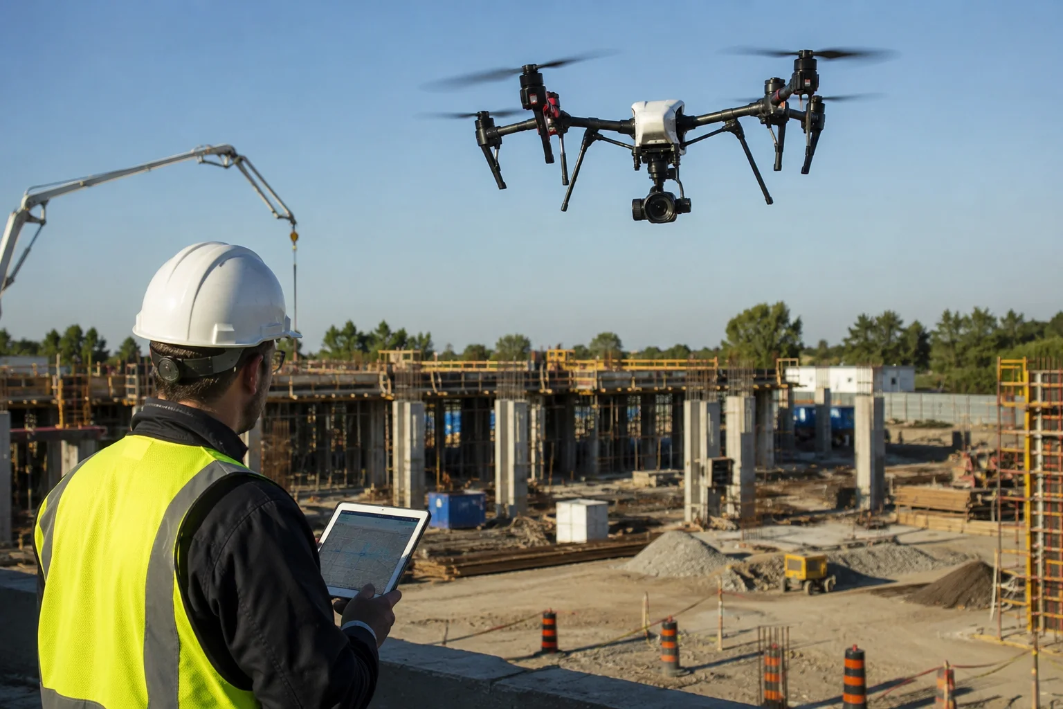
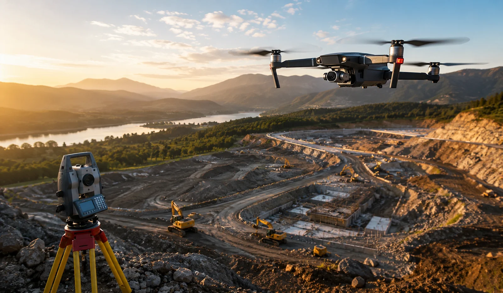
Drone surveying is the use of an unmanned aerial vehicle (UAV), fitted with high-resolution cameras, LiDAR or photogrammetry sensors, to capture detailed visual and spatial data of a building, structure or piece of land. That data is then processed into usable outputs, such as orthomosaic maps, 3D models, point clouds, thermal images, or straightforward high-definition photography, depending on what the project needs.
On a construction site, Drone surveying is typically used for:
- Topographical and volumetric surveys, measuring land contours, stockpile volumes, and cut-and-fill calculations before or during groundworks
- Roof inspections and roof surveys, assessing tiles, flashing, guttering, and flat roof coverings without scaffolding or rope access
- Progress monitoring, tracking build progress against programme with repeat aerial capture
- Structural and façade inspections, spotting cracking, spalling, render failure or water ingress on tall or complex buildings
- Site security and planning documentation, producing imagery for planning applications, insurance records or marketing
It’s worth being clear that a drone survey isn’t automatically the same as a full topographical or measured building survey carried out by a chartered surveyor. In many cases, Drone surveying data feeds into that process, captured by a drone pilot and then interpreted or validated by a qualified surveyor or engineer. Anyone commissioning aerial survey drone work for anything load-bearing or structurally significant should confirm exactly who is interpreting the results, and to what standard.
Why Drone Surveys Are Becoming Central to Site Safety
Working at height remains one of the leading causes of workplace fatalities in UK construction, and the Health and Safety Executive has long identified falls from height as a persistent risk on building sites. Traditional survey methods- scaffold towers, cherry pickers, rope access, ladders- all involve putting a person somewhere they could fall from.
A drone survey removes that person from the equation entirely. The operator stays on the ground, in visual line of sight, while the aircraft does the close-up work. That has knock-on benefits beyond the obvious safety gain:
- No scaffold hire or access equipment costs while a survey is carried out
- Faster turnaround: a roof or façade that would take a rope access team a full day can often be surveyed in under an hour
- Access to genuinely hazardous areas, unstable structures, live rail corridors, deep excavations or contaminated land, where sending a person up close isn’t sensible at all
- Repeatable, dated evidence for insurance, disputes, or proving due diligence around inspection frequency
For principal contractors and duty holders under the Construction (Design and Management) Regulations 2015, that documented, repeatable evidence can also support the broader duty to manage and reduce risk on site, not as a replacement for a proper risk assessment, but as one of the tools that makes a lower-risk method of working possible in the first place.
Drone Roof Inspections: A Closer Look
Roof inspection is probably the single most common reason UK property owners and facilities managers now search for a drone surveying company. It’s easy to see why. A drone roof survey can capture every tile, ridge, valley, and flashing detail in high resolution, flag areas of moss, slippage, or damage, and, where the Drone surveying carries a thermal camera, pick up moisture ingress or insulation gaps invisible to the naked eye.
Compare that to the traditional alternative: erecting scaffolding or hiring a cherry picker just to get a roofer’s eyes on a problem that might turn out to be minor. For insurance claims, pre-purchase surveys, or planned maintenance programmes, a drone roof inspection is often faster, cheaper and considerably safer.
That said, drone roof inspections have limits. They’re excellent for visual assessment but can’t physically test whether a tile is loose, tap-test a chimney stack, or lift a felt covering to check what’s underneath. A sensible approach is to treat drone imagery as the first-pass diagnostic tool that tells a contractor exactly where physical access is actually needed, rather than sending someone up blind.
Common Mistakes When Commissioning a Drone Survey
Even with a competent operator, drone surveying projects go wrong in predictable ways. A few worth flagging:
Not checking CAA compliance. Any operator flying commercially in the UK must hold the correct authorisation from the Civil Aviation Authority, along with valid third-party liability insurance. This isn’t optional paperwork; flying without it is a criminal offence, and the rules have tightened further with the CAA’s updated framework introduced from January 2026. Ask to see current certification before booking.
Assuming higher resolution always means better data. Photogrammetry accuracy depends on flight planning, ground control points, weather conditions, and camera calibration just as much as megapixels. A rushed survey in poor light will produce poor data, however good the drone is.
Ignoring airspace restrictions. Sites near airports, hospitals, prisons, or other restricted zones may need additional permissions. A good drone surveying company will flag this at the quoting stage, not on the day of the flight.
Treating drone data as a finished product. Raw imagery or point clouds usually need processing and, for anything structural, professional interpretation. Clarify upfront what deliverable you’ll actually receive: a report, a 3D model, raw files, or all three.
Choosing a Drone Surveying Company in the UK
With drone services UK now a crowded search term, it’s worth narrowing your search with a few practical questions:
- Do they hold a valid CAA Operational Authorisation and public liability insurance, and will they confirm this in writing?
- Do they have experience with your specific survey type? Roof inspection, topographical survey, or structural monitoring are quite different skill sets.
- What sensors and software do they use, and does the output match what your engineer, architect, or insurer actually needs?
- Can they provide sample reports or references from similar projects?
- If you’re searching for drone surveys near London or me, check whether the company genuinely operates locally or subcontracts to a third party; this affects response times and local site knowledge.
FAQs
Is drone surveying legal in the UK?
Yes, provided the operator complies with Civil Aviation Authority rules. Commercial drone surveying pilots need the appropriate operational authorisation, registration, and third-party liability insurance. Regulations were updated again in January 2026, so it’s worth confirming any operator’s certification is current.
How much does a drone roof survey cost?
Costs vary depending on property size, location, and the level of detail required (standard photography versus thermal imaging or full 3D modelling). It’s sensible to get quotes from a couple of drone survey companies and compare exactly what’s included in the report.
Can a drone survey replace a full building survey?
Not on its own. Drone imagery is an excellent diagnostic and data-capture tool, but structural conclusions should still come from a qualified surveyor or engineer reviewing the data, not from the imagery alone.
Do I need planning permission for a drone survey on my property?
No planning permission is needed to have a drone survey carried out, but there’s no blanket right to fly over private land you don’t own or control; the operator still needs to observe CAA airspace rules and, where relevant, landowner permission for adjoining properties.
What weather conditions affect drone surveying accuracy?
Wind, rain, and poor light all affect both flight safety and data quality. Reputable operators will reschedule rather than fly in marginal conditions, which is worth factoring into your project timeline.
Final Thoughts
Drone surveying isn’t a gimmick bolted onto traditional construction practice; it’s a genuinely practical response to a problem the industry has wrestled with for decades: how to inspect and measure buildings and sites without repeatedly sending people into risky positions. Used properly, alongside, not instead of, qualified surveying and engineering judgement, it reduces working-at-height exposure, speeds up decision-making, and gives project teams evidence they can actually rely on.
If you’re planning a build, a roof inspection, or a site survey, it’s worth asking your contractor or surveyor early on whether a drone-based approach could save time, cost, and risk before scaffolding goes anywhere near the site.