There’s a particular kind of anxiety that comes with not knowing what’s happening on a piece of land or a rooftop you’re responsible for. Maybe it’s a construction site where every inch matters. Maybe it’s a roof after a hailstorm, and you’re staring up at it from the ground, wondering what you can’t see. I’ve stood in that exact spot more times than I can count, and I can tell you the moment that anxiety lifts: it’s the moment a drone goes up and the picture ,literally ,comes into focus.
That’s the real promise of drone surveying. Not just data. Not just pretty aerial photos. Clarity, and the peace of mind that comes with it.
What Drone Surveying Actually Involves
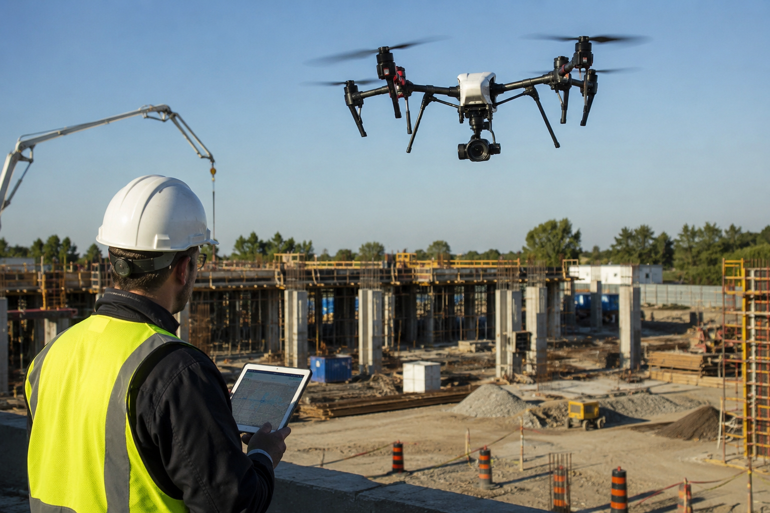
At its core, drone surveying is the use of unmanned aerial vehicles equipped with high-resolution cameras, LiDAR sensors, or photogrammetry software to capture precise measurements and imagery of land, structures, or infrastructure. Instead of a crew walking a site with GPS rods for days, a well-planned drone survey can capture the same ,often more accurate ,data in a matter of hours.
I remember the first large agricultural site I worked on using an aerial survey drone instead of traditional ground methods. What would have taken my team the better part of a week took a single afternoon. The client was skeptical at first ,understandably so, since they’d never seen surveying drones in action before. By the time we handed over the orthomosaic map with contour lines accurate to within centimeters, that skepticism turned into genuine relief. They finally had the clarity they needed to move forward with confidence.
Why More People Are Turning to Drones for Surveying
It’s not just about speed, although that matters. It’s about safety, accuracy, and access. Some sites are simply dangerous or difficult to survey on foot ,steep terrain, unstable structures, and active construction zones. Sending a drone up instead of a person down into a ravine or up onto a compromised roof isn’t just efficient. It’s responsible.
There’s also the accuracy factor. Modern drones for surveying carry sensors capable of capturing thousands of data points per second, producing maps and models with a level of detail that traditional methods simply can’t match at the same cost or timeframe. For property owners, developers, and insurance adjusters alike, that precision translates directly into fewer disputes, fewer surprises, and better decisions.
Drone Roof Inspections: A Case Worth Talking About
If there’s one service that’s quietly transformed an entire industry, it’s the drone roof inspection. I think about a homeowner I worked with after a severe storm rolled through their neighbourhood. She was anxious about sending anyone up onto a roof that might not be structurally sound, and equally anxious about the cost and hassle of getting an accurate assessment.
A drone roof survey solved both problems. Within twenty minutes, we had high-resolution imagery of every shingle, every vent, every potential trouble spot ,without anyone setting foot on a ladder. She had her documentation for the insurance claim the same day. That’s the quiet power of drone roof inspections: they remove risk from the equation while delivering answers faster than anyone expects.
Insurance companies, property managers, and roofing contractors have caught on. What used to require scaffolding, ladders, and a fair amount of risk now takes a controlled, methodical flight pattern and a well-trained pilot.
What to Look for in a Drone Survey Company
Not every drone survey company operates at the same standard, and that distinction matters more than people realize. When you’re choosing among drone survey companies, a few things separate the ones worth trusting from the ones that are just flying cameras around:
FAA Part 107 certification. Any legitimate drone surveying company operating commercially in the US should have pilots certified under FAA Part 107. This isn’t optional paperwork ,it reflects real training in airspace regulation, safety protocols, and flight planning.
Proper equipment and software. A serious drone surveying company invests in sensors and photogrammetry or LiDAR processing software built for survey-grade accuracy, not consumer-grade drones repurposed for professional work.
Insurance and liability coverage. Flying over private property or active job sites carries risk. A trustworthy provider carries commercial liability insurance to match.
A track record you can verify. Ask for sample deliverables, case studies, or references. Any company confident in its work will show you real project outcomes, not just marketing language.
If you’ve searched drone surveys near me, and found a long list of options, these four criteria are the fastest way to separate the professionals from the hobbyists with a drone and a website.
Where Drone Services Fit Into a Larger Project
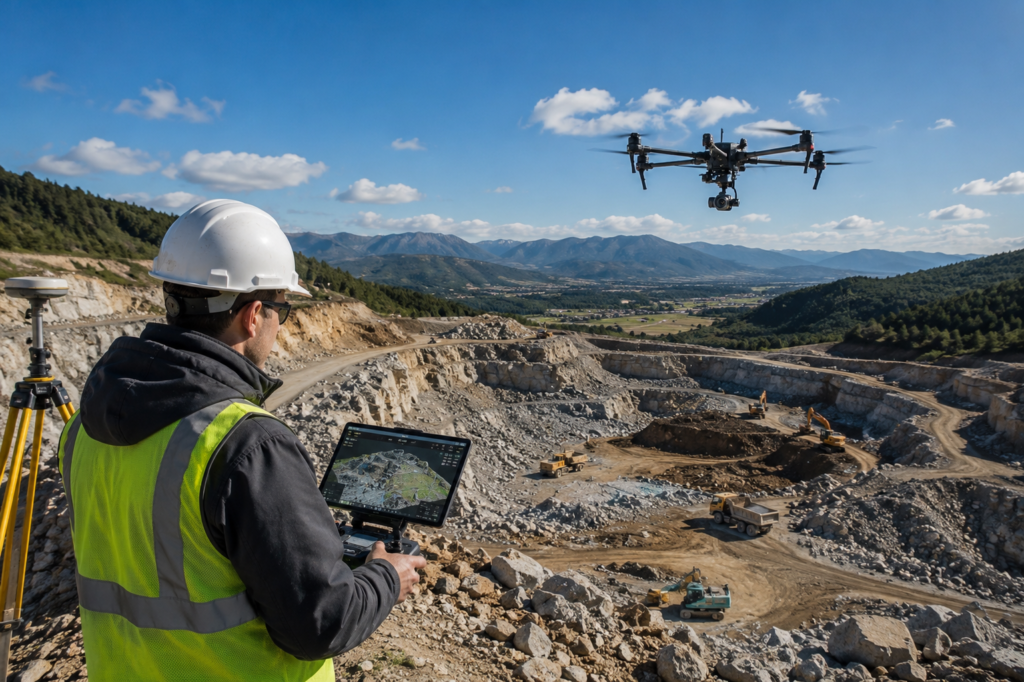
Drone services rarely exist in isolation. They’re usually one piece of a larger picture ,feeding into construction planning, property assessments, insurance claims, environmental monitoring, or infrastructure inspection. The best drone inspection companies understand this and deliver data in formats that integrate directly into the workflows their clients already use, whether that’s CAD software, GIS platforms, or straightforward PDF reports a homeowner can actually read.
That integration matters. Raw drone footage without proper analysis is just video. The real value comes from a provider who understands both the flying and the interpretation ,someone who can look at a set of survey drone results and tell you what they actually mean for your project, your claim, or your decision.
The Human Side of a Technical Service
It’s easy to talk about drone surveying purely in technical terms ,sensors, resolution, flight paths, data processing. But underneath all of that is something simpler: people who need answers about something they care about. A landowner who needs boundary clarity before a sale. A family whose roof might not survive another season. A developer whose entire timeline hinges on accurate topographic data.
Every drone survey I’ve been part of, no matter how routine it seemed on paper, mattered enormously to the person who commissioned it. That’s the part of this work that doesn’t show up in the technical specs ,the relief on someone’s face when the ambiguity finally lifts and they can see, clearly, exactly what they’re dealing with.
Final Thoughts
Drone surveying isn’t just a faster or cheaper alternative to traditional methods ,though it often is both. It’s a way of replacing uncertainty with clarity, and anxiety with confidence. Whether you’re evaluating a drone roof inspection after storm damage, comparing drone survey companies for a construction project, or simply curious about what drones for surveying can do for your property, the technology has matured to the point where the real question isn’t can it help ,it’s who’s the right team to trust with it.
FAQs
What is drone surveying?
Drone surveying uses unmanned aircraft fitted with cameras or sensors to capture aerial images and measurements of land, buildings, or roofs. It’s faster and often more accurate than traditional ground surveys.
How much does a drone survey cost?
Prices vary based on site size, terrain, and the type of data needed. Most drone survey companies offer a quote after a quick site assessment or a look at your property details.
Is a drone roof inspection better than a manual one?
For most homes, yes. It’s safer, faster, and captures detailed imagery of areas that are hard or risky to reach on foot, which is especially useful for insurance claims.
Do drone survey companies need special certification?
In the U.S., any company flying drones commercially must have FAA Part 107 certified pilots. Always ask before hiring one.
How long does a typical drone survey take?
Most residential or small commercial surveys take under an hour to fly. Larger sites, like farmland or construction projects, may take a few hours depending on size.
Can drone surveys be used for insurance claims?
Yes. Drone roof inspections are widely accepted by insurers, especially after storm damage, since they provide clear, timestamped visual evidence of the property’s condition.
What’s the difference between a drone survey and a traditional land survey?
A drone survey captures data from the air quickly and covers large areas efficiently. A traditional survey involves ground crews and can take longer, though both can achieve high accuracy depending on the method used.